Learning from failure: aerial mapping
I consider myself to have a lot of experience with aerial photography, having owned three aircraft, and captured a lot of video and photogrpahic data with them.
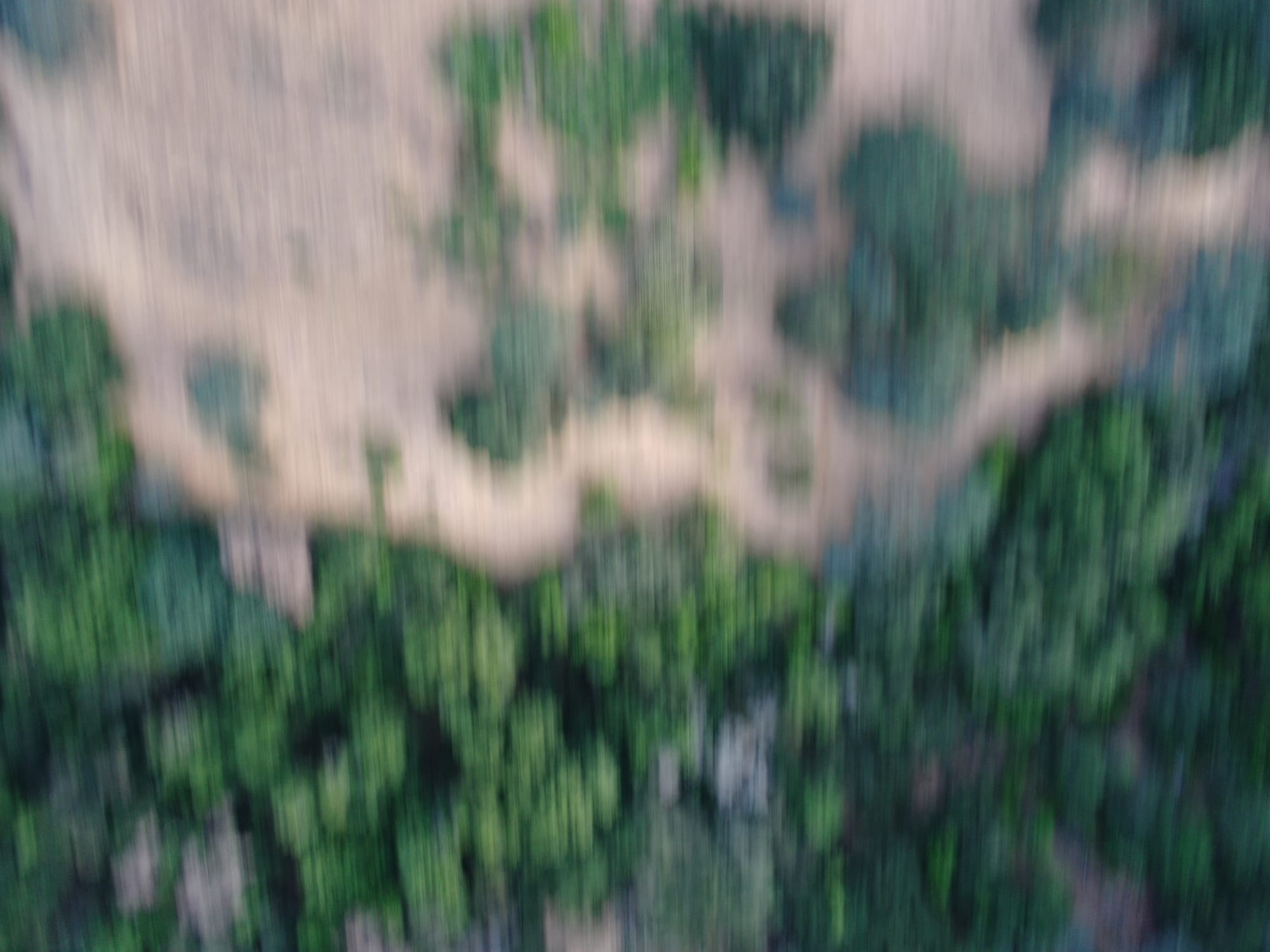
This morning, I sent my aircraft off to map the Math, without thinking about the kinds of photographs required for aerial mapping. I prioritised an early-morning flight to reduce the heat the aircraft was exposed to, forgetting that meant less light, and that I should have removed the ND32 filter from the camera, and replaced it with the standard clear (ND0) filter.
Aerial mapping is a balance between speed and photographic detail. Instead of optimising for aesthetic light into the camera, the operator needs to optimise for quality of data at speed, or, how fast can the aircraft continue flying and still take a sharp photograph? The higher the speed, the more photos per sortie, the fewer battery swaps per mission, the more efficient the exercise.
While my batteries charge again, I shall enjoy a blurred map of the Math.
Comments ()